Summary of research
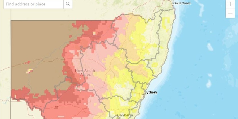
Climate change is having different impacts across NSW. These climate change observations and projections maps and data were published by the NSW Government in 2014, and outline climate projections for different NSW regions in the near future (2020–2039) and far future (2060–2079). This information is based on NARCliM projections from 2014, and can help people understand how their region is likely to be impacted by climate change. For planners and decision makers, this data can help inform decisions about future developments and policies to make sure they consider the effects of climate change in their region.
Maps
NSW climate change map data: all epochs all variables annual and seasonal (ZIP 4.6MB) – A series of ASC files containing modelled averages for all climate variables (annual and seasonal) for the near future and far future.