The development of NARCliM data
The development of NARCliM data follows a rigorous process and procedure for creating scientifically robust, fit-for-purpose regional climate data.
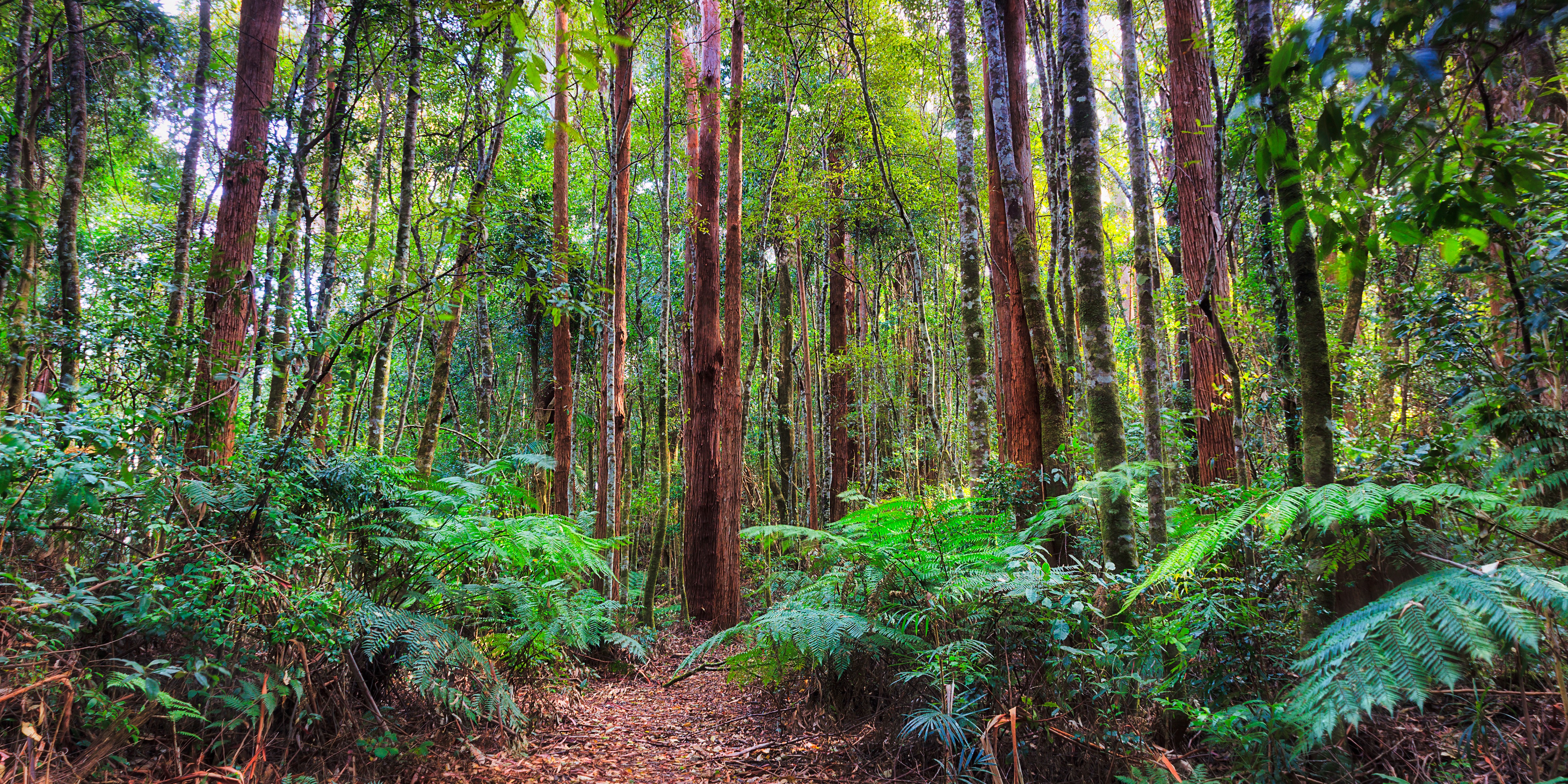
NARCliM produces data for both future and past climates. Model data on future climates are called projections. Projections are used to understand plausible future climates. Model data on past climates are called hindcasts. Hindcasts are often used to assess how well a climate model simulates the observed climate and informs our understanding of climate model bias (which can be thought of as errors in the data). Hindcasts also provide a vital base for comparison with projections data – choosing a period of time from the hindcast data acts as a baseline for comparing with projections data of the same NARCliM dataset. For example, the projections in the interactive climate change projections map are relative to the baseline period of 1990–2009.
Generating NARCliM data involves:
- selecting global climate models (GCMs) and regional climate models (RCMs)
- dynamically downscaling the GCMs using the RCMs
- selecting emissions scenarios
- data processing, testing and validation.
Selecting global and regional climate models
As science advances, the international climate science community delivers new phases of GCMs and associated emissions scenarios. This new information is reflected in the assessment reports delivered by the Intergovernmental Panel on Climate Change (IPCC), the world-leading authority on climate change.
For NARCliM, GCMs provide the broad-scale climate patterns that influence the climate of NSW (and the wider Australasian region). But they lack the details of local factors that influence the NSW climate, such as topography, land use and coasts, and they are limited in the scale of the physics they simulate. To achieve higher spatial resolution and to better account for this local variation in terrain and atmospheric dynamics, NARCliM also uses RCMs.
There are many GCMs and RCMs available, so NARCliM’s climate scientists carefully select a discrete number of GCMs and RCMs that reflect international best practice and the NSW climate.
Learn more about the GCMs and RCMs used to produce NARCliM data.
Dynamically downscaling GCMs using RCMs
GCMs usually provide climate data at a resolution of 100km to 300km and offer global coverage. For GCMs to be more useful for regional and local climate-related planning and decision making, NARCliM uses the method of dynamical downscaling to convert GCM data into a much finer resolution. It does this by using its pre selected RCMs. This approach improves the representation of local climatic conditions and extremes that affect south eastern Australia.
NARCliM uses dynamical downscaling to produce 2 scales of data. For NARCliM2.0, this includes:
- a 20km grid resolution for the Australasian region, known as the CORDEX domain
- a 4km grid resolution for NSW, the ACT and Victoria, and parts of the Northern Territory, Queensland and South Australia. The capital cities Adelaide, Brisbane, Canberra, Melbourne and Sydney are also included at this 4km scale.
Learn more about NARCliM’s dynamical downscaling process.
Selecting emissions scenarios
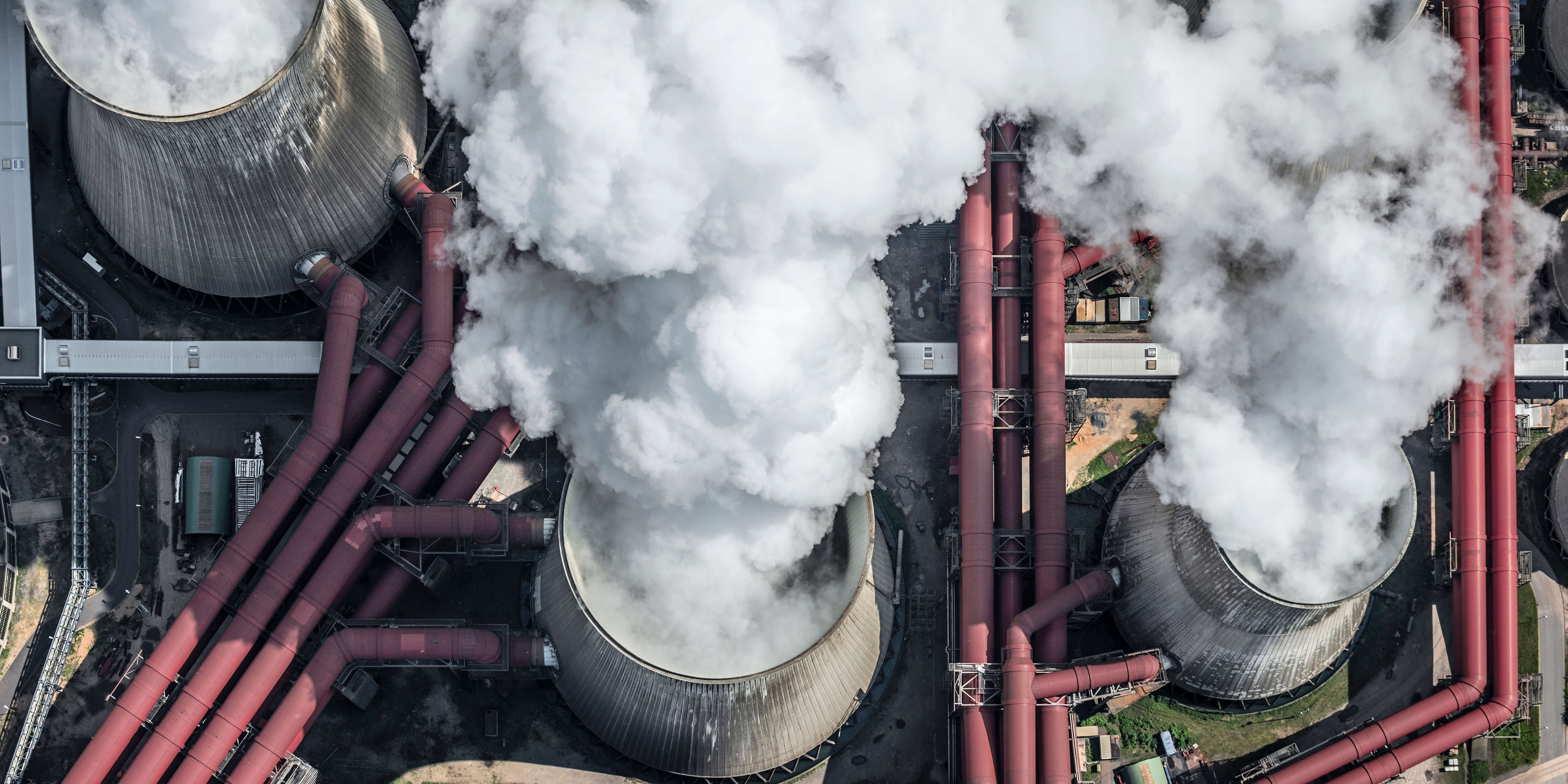
Future climate change is uncertain and depends on a range of factors that influence greenhouse gas emissions. These include social, technological, political and economic factors, which all interact to affect the amount of greenhouse gases in our atmosphere. To address the uncertainty around the future concentrations of greenhouse gases, GCMs rely on information about possible future atmospheric concentrations of greenhouse gases and the pathways that may lead us there.
Different types of emissions scenarios are available, with new types being created in response to new scientific understanding. Each type of scenario also contains many variations, to show a range of plausible futures. As with GCMs and RCMs, NARCliM’s scientists carefully select emissions scenarios based on user needs and international best practice, including following the Coordinated Regional Downscaling Experiment (CORDEX) framework.
Learn more about the emissions scenarios used by NARCliM.
Data processing, testing and validation
NARCliM data are delivered as raw, post-processed and bias corrected data. These options accommodate the needs of different end-users as their applications (for example, research or a climate risk assessment) commonly require different types of climate model data.
NARCliM data are produced using robust methods and quality assurance processes. The details for developing each NARCliM generation are captured in technical reports and peer reviewed literature (for example, the design of NARCliM2.0).
Through these processes, all data outputs are deemed complete, reliable and credible. It also means that modelling errors at various levels of post-processing have been identified and rectified. This builds confidence in NARCliM as a trusted and robust source of regional climate projections.
Learn more about NARCliM’s data processing, testing and validation.