NARCliM is the NSW Government’s trusted source for regional climate projections data and associated information for NSW
The NSW Government provides high-quality regional climate projections and information for public use through the NSW and Australian Regional Climate Modelling (NARCliM) project.
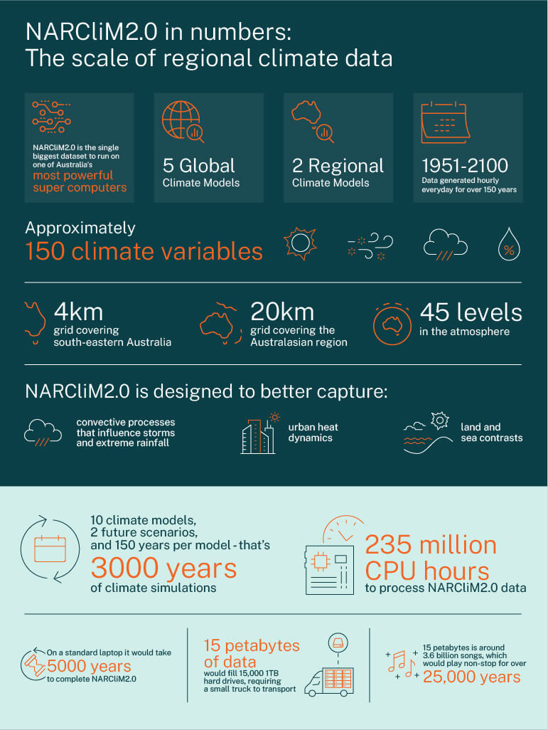
NARCliM brings together globally recognised science and multidisciplinary expertise to deliver regional climate projections for south-eastern Australia. NARCliM data and products are co-designed with end-users and stakeholders to ensure the data are fit-for-purpose for a range of user groups.
NARCliM data have been used in research, planning and decision-making relating to local-scale climate change for more than a decade. Before NARCliM, climate information was only available at larger scales that was not meaningful at the local level.
Some examples of major strategic planning initiatives informed by NARCliM data are the NSW State Infrastructure Strategy (2018–2038), Future Transport Strategy and the 2017 NSW State Level Emergency Risk Assessment. The quality and value of the NARCliM project to NSW, and Australia, is reflected by its growth in subnational and university partnerships as well as its inclusion in the Australian Government’s National Partnership for Climate Projections collaboration, which started in 2022.
Navigating NARCliM on AdaptNSW
Discover how to best navigate AdaptNSW to access the range of NARCliM information and resources most appropriate for you and your needs.
Find out more about the NARCliM project and the different products
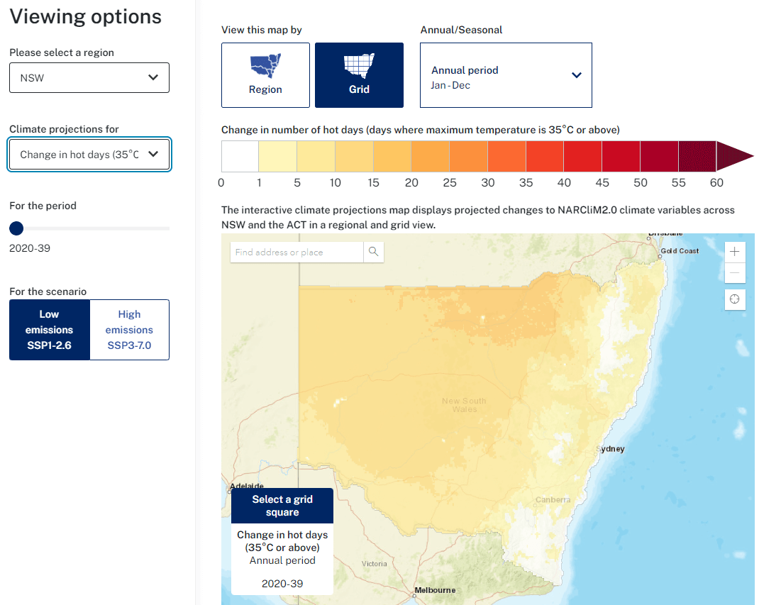
Depending on the type of information you need and your data expertise, you can access data summaries in the regional climate change snapshots, smaller maps and datasets through the interactive climate change projections map or download NARCliM data direct from the NSW Climate Data Portal.
Latest adaptation information
To stay up-to-date on the latest NARCliM data, tools and resources, sign up to the AdaptNSW newsletter


