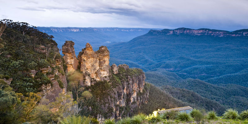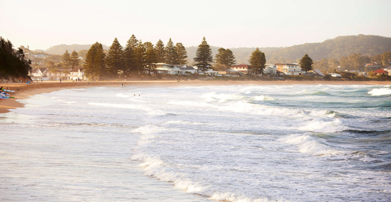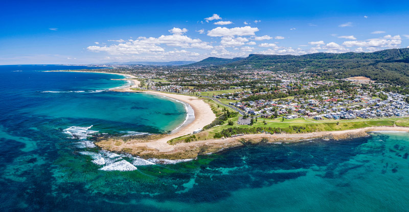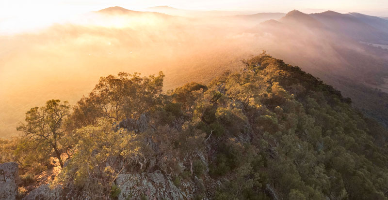
As NSW is large and varied, climate change will impact the regions of NSW differently. This is why we have been considering climate change adaptation region by region.
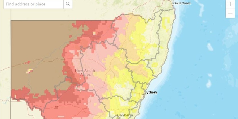
NARCliM – the NSW and Australian Regional Climate Modelling project – produces detailed regional climate change projections to help governments, industries and communities to plan for climate change. The data can be used in impacts and adaptation research, and by local planners and decision makers.
NARCliM2.0 projections are now available for NSW, the ACT and 10 NSW regions. These projections are summarised for each location through the regional climate change snapshots, available from each specific regional page, and the AdaptNSW interactive climate change projections map.
The most common climate projections used on this website cover changes in:
- temperature
- number of hot days and cold nights
- rainfall
- severe fire weather days (Forest fire danger index (FFDI) above 50).
You can also download these data and access other projections data from the NSW Climate Data Portal, including the latest generation offered through NARCliM2.0. Find out more about the NARCliM project and products.
The NSW Government is helping regions prepare for climate change through its Enabling Regional Adaptation work. The Enabling Regional Adaptation work uses a systems approach that considers the relationship between the climate, social, economic and environment. The process, completed in each region of NSW, included a series of stakeholder workshops, to ensure local knowledge is included in future planning.
Reports from the process provide for each region opportunities for action that people and organisations can take to prepare for a more resilient future.
These regional climate change snapshots were created using NARCliM2.0 data. Summary information, including infographics, is available from each specific regional page, which can be accessed from the cards below.